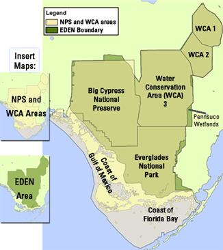
Water Levels EDEN
Now you can access real time water level data from Everglades Depth Estimation Network (EDEN) and USGS directly from Google Earth. EDEN Gages Google Earth .kml file
Views: 202
- Attachments:
-
-
 EDEN_gages.kml, 301 KB
-
Replies to This Discussion
-
Permalink Reply by Flex Kayakfari.com on
-
This is great Bill! :)
-
Permalink Reply by Amazon Bill on
-
It sure makes it easy to geographically locate the gauges and access the data!
About
Welcome to
Everglades Exploration Network
© 2026 Created by Keith W.
Powered by
![]()